
Bengaluru: 06 November 2026-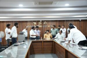
Identify a Feasible Location for the Construction of a Satellite Bus Stand: Lokhande Snehal Sudhakar
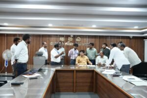
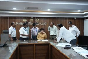
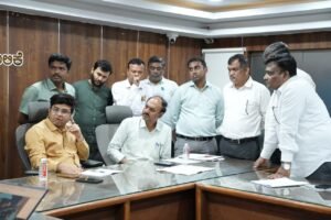
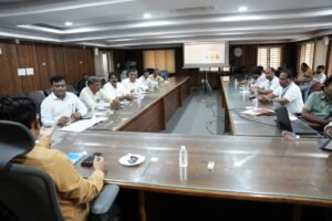
A coordination meeting with officials from various departments was held under the chairpersonship of Additional Commissioner (Development) Lokhande Snehal Sudhakar to discuss site inspection, technical and administrative feasibility, land acquisition and the required infrastructure for the proposed new satellite bus stand in K.R. Puram, under the jurisdiction of Bengaluru East City Corporation.
K.R. Puram requires a well-equipped bus stand, and the matter has also been discussed at the Chief Minister’s level. The Additional Commissioner directed officials to identify a suitable location near the main road between K.R. Puram and Bhattarahalli for the construction of the satellite bus stand and initiate the necessary steps. The meeting discussed land availability, the land acquisition process, compensation, land exchange possibilities, road connectivity, traffic congestion management and removal of encroachments.
Identify 5 Acres of Land Near the Main Road
The Additional Commissioner stated that the availability of approximately five acres of land near the main road between K.R. Puram and Bhattarahalli would facilitate the construction of the satellite bus stand. This would provide greater convenience to the public and commuters while improving the overall bus transportation system. In this regard, officials were instructed to examine the availability of government and private land and identify a feasible site for the project.
Instructions Regarding Land Acquisition and Compensation
Officials were instructed to explore the possibilities of land exchange based on land availability and, if necessary, initiate steps to acquire land under the provisions of the Land Acquisition Act. Compensation should be assessed in accordance with the prevailing market value and applicable regulations. The Additional Commissioner directed officials to identify government and private properties separately based on village maps and relevant land records and examine all possible options for land acquisition.
Steps to Examine ITI Land Availability and Remove Road Encroachments
The meeting discussed the availability of land belonging to ITI Limited and KSRTC’s interest in obtaining approximately five acres of land. Officials were asked to explore the possibility of securing land located close to the main road. Considering ITI’s expectations regarding compensation, the Additional Commissioner instructed officials to examine the possibility of determining compensation based on the commercial market value, in accordance with applicable rules, and take further action.
Furthermore, it was observed that although a road had been marked in the official map, no road existed at the site. The Additional Commissioner instructed officials to remove encroachments along the approximately 80-metre stretch and make the road accessible for public use. He also directed officials to identify the road alignment shown in the map near ITI Limited, clear the encroachments and take necessary steps for road construction.
Joint Survey to Be Conducted on November 16
The Additional Commissioner instructed the concerned departments, including representatives of ITI Limited, the Assistant Director of Land Records (ADLR) and Karnataka Housing Board (KHB), to conduct a joint survey on November 16. The survey should identify the boundaries of government and private lands, available land extent, road alignment and details of encroachments.
Before the joint survey, officials were directed to prepare the road alignment as per the CDP road map and take necessary steps to clear encroachments and remove trees obstructing the proposed road alignment. The site inspection and survey must be carried out without delay, and a comprehensive report supporting the implementation of the project must be prepared.